Local Whittier Angles
Living Near the Whittier Narrows Dam: What Homeowners Should Know About Flood Risk
The dam is a serious piece of regional infrastructure and it has been through serious scrutiny. It is also not what is flooding local homes.
Water spreading right now? Call before you finish reading — crews are dispatched during the conversation, 24/7.
+1 (201) 277-9344The short answer
The dam is a flood-control basin that captures storm flow from the San Gabriel River and Rio Hondo and releases it slowly, and regional river flooding is not what floods local homes. Federal assessments have flagged concerns and a major safety project followed — check the Army Corps and LA County Public Works for the current position.
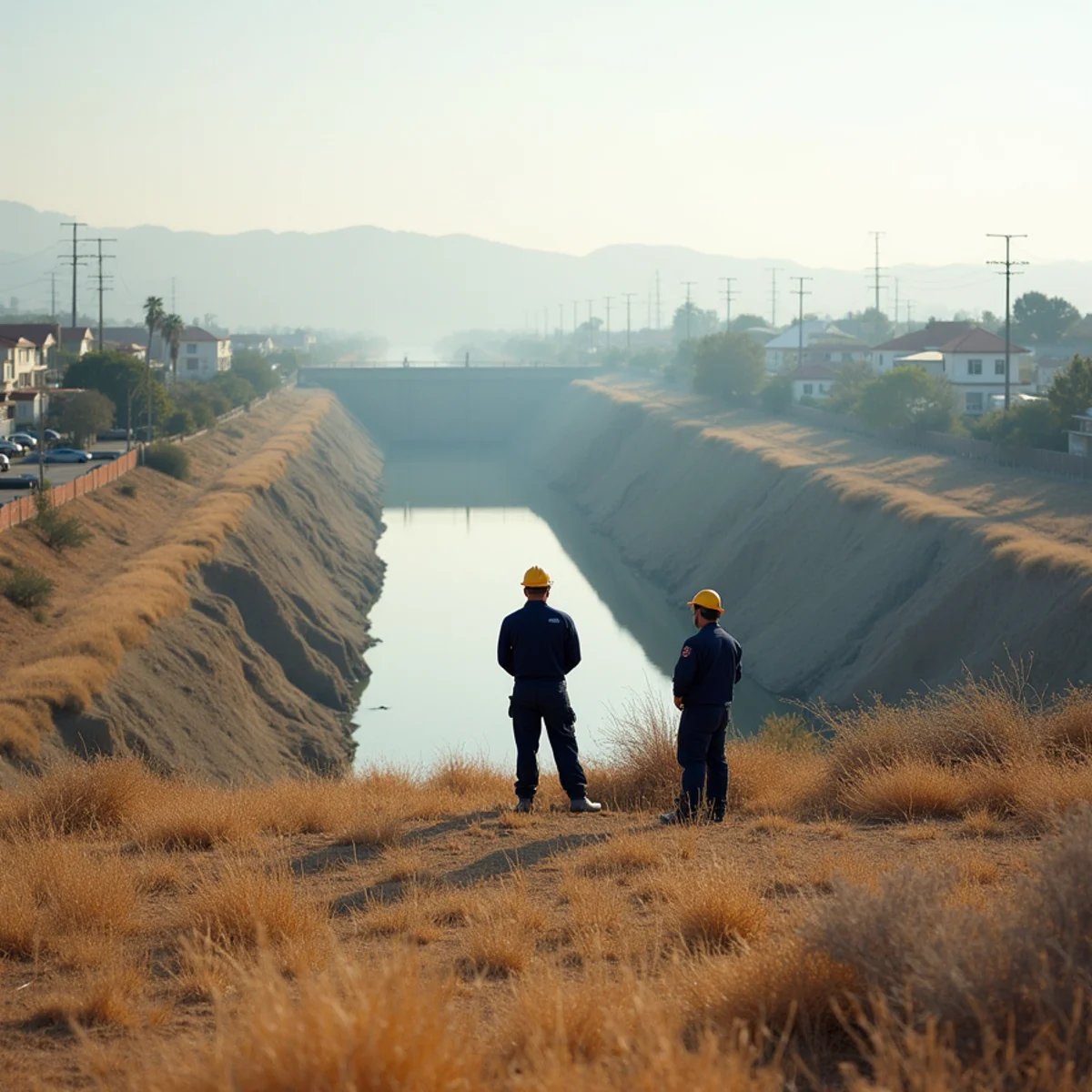
Whittier Narrows Dam sits at the gap where the San Gabriel River and Rio Hondo pass through the hills, and it is a central component of the flood-control system protecting a very large population downstream.
It also periodically appears in local news coverage about dam safety, which understandably worries people. Here is a proportionate account of both.
What the Dam Does
It is a flood-control facility rather than a water storage reservoir in the everyday sense. Most of the year the basin behind it is largely open land — recreation area, nature center, golf, sports fields.
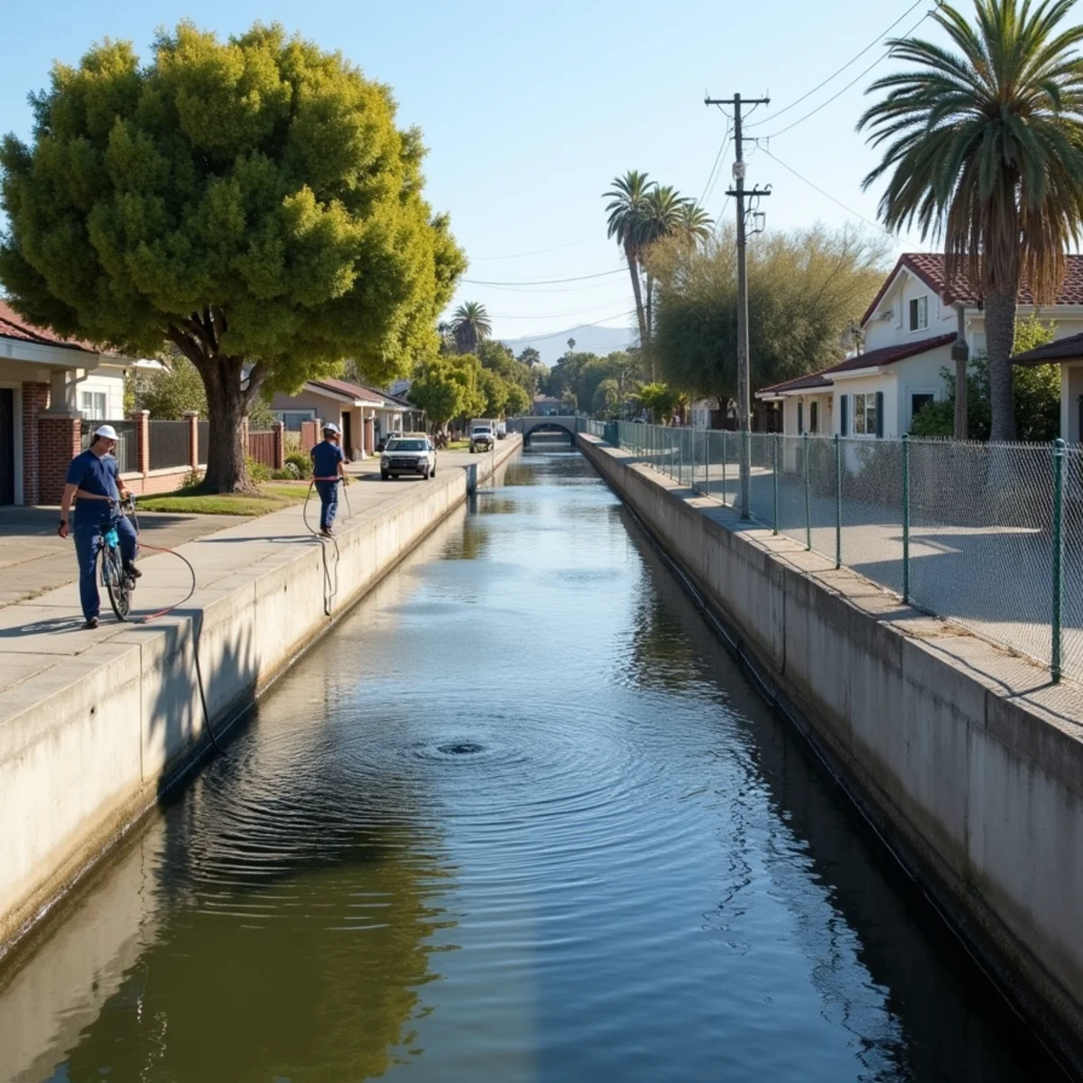
Its job is to capture and slowly release storm flow from the San Gabriel River and Rio Hondo watersheds, so that the concrete channels downstream carry water at a rate they can handle rather than all at once. Together with the county flood-control system and the spreading grounds that recharge the groundwater basin, it is why the lower San Gabriel Valley is habitable at its current density.
It works. Regional river flooding is genuinely not what generates the calls we take.
The Safety Question, Proportionately
Federal dam safety assessments have flagged concerns about this facility in the past, and it has been the subject of significant news coverage and of a major federally funded safety improvement program. That is a matter of public record, and property owners in the area are entitled to be aware of it.
Two things are worth holding together. First, the concerns identified were real enough to justify a large-scale engineering response — which is what has been undertaken. Second, the scenarios discussed in that context are extreme-event scenarios, not descriptions of ordinary winter risk.
If you want the current position rather than a summary, the US Army Corps of Engineers and Los Angeles County Public Works publish information on the facility and on inundation mapping. Those are the sources worth reading, and they are more current than any contractor blog including this one.
What Is Actually Flooding Local Homes
In our experience, essentially none of it is the river.
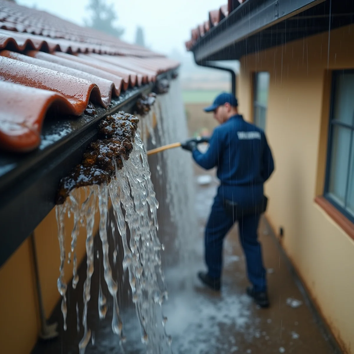
It is the storm drain at the end of the block reaching capacity during a concentrated system. It is a driveway that slopes back toward a garage. It is a yard grade reversed by thirty years of landscaping. It is area drains still full of the previous summer's leaf litter, and downspouts discharging at the foundation instead of away from it.
Whittier gets roughly 14 inches of rain a year and nearly all of it falls between November and March, increasingly in concentrated bursts rather than steady drizzle. When two inches arrives in six hours, the limiting factor is your street and your lot, not the regional channel network.
That is where the risk you can actually do something about lives.
If You Are in a Mapped Inundation Area
Practical steps, none of which are dramatic.
Know your evacuation route and sign up for county emergency alerts. In an extreme event, warning time is the variable that matters most.
Understand your insurance position. Standard homeowners policies exclude flood from external sources. Flood coverage is separate, commonly through the NFIP, and it typically carries a waiting period of around 30 days — so it cannot be arranged when a storm is already forecast.
Keep records off-site. Digital copies of documents and a contents inventory, stored somewhere that is not the house.
More on the coverage distinction in flood insurance vs. homeowners insurance.
The Newer Developments
Newer housing near the river corridor — The Groves is the clearest local example — sits in an interesting position. The construction is modern, so the plumbing failures that dominate older Whittier are largely absent.
What those homes share with everyone else is the local drainage picture, and their first-generation roofs, gutters and area drains are now entering the age where maintenance stops being optional.
For anyone in that position, the highest-value hour of the year is in October: clear the drains, check the downspouts, look at the roof.
What Proximity Actually Changes, and What It Does Not
Being near the dam changes three practical things for a homeowner, and it is worth separating them from the general anxiety the subject tends to attract.
It can affect your flood zone designation, which in turn affects whether a lender requires flood insurance and what that coverage costs — that is a mapping question with a definite answer, available from FEMA maps and confirmable through your agent or the county. It affects what emergency planning is reasonable: knowing your evacuation route, being signed up for county alerts, and keeping digital copies of documents and a contents inventory somewhere that is not the house. And it is a legitimate item for a disclosure conversation if you are buying or selling.
What it does not change is where the water that actually damages homes here comes from. Across the storm losses we attend in this part of the county, the cause is local almost without exception: a storm drain at capacity, a driveway falling back toward a garage, an area drain packed with eight months of leaf litter, a downspout discharging against a foundation. That is the risk with a return on effort attached to it — an afternoon in October measurably reduces it, while worrying about the basin does not. Informed about the infrastructure, focused on your own lot, is the right split of attention.
The bottom line
The dam is regional infrastructure under regional oversight, and the right sources for its current status are the agencies that operate it.
Your gutters, your area drains and your yard grade are the flood risk you own. Those are worth an hour in October.